Satellite data for everyday use
Space-based observation of the Earth and its ecosystems enables the detection of changes in land surfaces, oceans and the atmosphere, as well as the development of measures for environmental and climate protection.
Earth observation satellites quickly provide a clear view in cases of acute disasters like earthquakes, flooding or oil spillage. Their images show the extent of the catastrophe and its hotspots, and hence support rescue personnel on the ground. Satellite remote sensing allows the creation of digital maps of Earth’s surface and daily weather forecasts that improve safety in air and maritime transport, among other things.
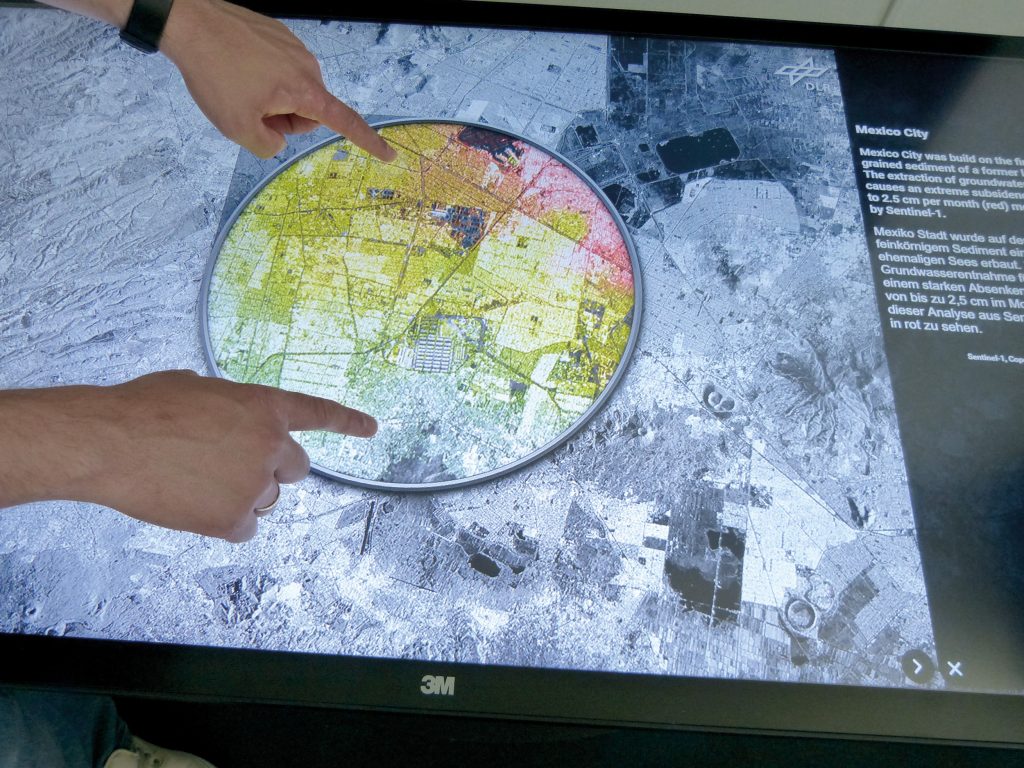
In addition, satellite-based Earth observation delivers important information used in the decision-making process for international treaties, for instance to protect the ozone layer or to tackle global warming. The European Earth observation programme Copernicus, with its freely available Sentinel data and services, has signifcantly expanded the provision of information for government agencies. The data helps with biotope mapping, in the optimisation of agricultural subsidies and in the planning of mobile communications systems. The Touch Table showcases a number of examples of the applications of Earth observation.
The expertise and systems used in Germany and Europe are outstanding from a scientifc and technical perspective. Germany contributes to this by supporting applications and technological development, as well as with its own Earth observation satellites.
German Aerospace Center (DLR)
Godela Rossner · E-Mail: godela.rossner@dlr.de · DLR.de/en
