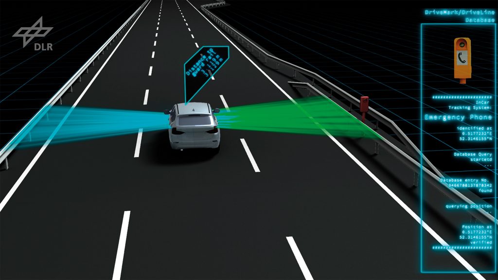
Accurate road maps for vehicle positioning
DriveMark® is a completely new method that uses radar satellite data to allow the x, y and z coordinates of geodetic control points to be determined with 10 centimetre accuracy. The unique advantages of this method – beyond the excellent precision – are reduced costs, simplifed data processing, large area coverage and worldwide availability.
The highly precise image maps produced using the DriveMark® technology form the basis for novel maps created for highly automated and autonomous driving. The automated combination of optical imagery with geodetic measurements obtained from radar satellite data is particularly innovative. The project included the development of software processors along with validation of the results and geoinformation products. DLR began the DriveMark® project in 2014. It was co-fnanced by the Helmholtz Association and was successfully completed in September 2017.
The resulting competitive advantages are: high geometric precision; coverage of large areas; worldwide availability; fast, effcient and secure data collection; consistent and comparable data; cross-border and independent of satellite navigation; highly automated processing.
Target user groups are: remote sensing companies; surveying service providers; navigation map providers and mobility services; vehicle manufacturers and automotive suppliers; sensor manufacturers; system integrators.
Deutsches Zentrum für Luft- und Raumfahrt (DLR)
German Aerospace Center (DLR)
Hartmut Runge · E-Mail: hartmut.runge@dlr.de · DLR.de/en
