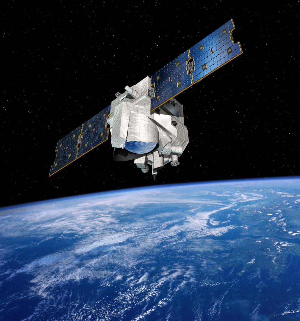
Methane Remote Sensing Lidar Mission
The German-French Methane Remote Sensing Lidar Mission (MERLIN) small satellite is a climate mission designed to monitor levels of methane – a greenhouse gas – in Earth’s atmosphere. Using a lidar instrument, MERLIN will detect and monitor this greenhouse gas from an altitude of approximately 500 kilometres. One of the goals of the three-year mission is to create a global map of the world’s methane concentrations. The mission will also provide information about the regions of the Earth from which methane is being introduced into the atmosphere, and in which areas it is being removed again.
After carbon dioxide, methane is the second largest contributor to anthropogenic global warming. Precise space-based measurement methods must be used if a better understanding of the complex atmospheric processes involved in climate change is to be made possible. France is responsible for the overall system of the mission, the satellite bus, the operation of the satellite and the launch vehicle. Germany is developing the methane lidar instrument. Both nations will jointly implement the payload ground segment and the scientific evaluation of the methane data. MERLIN is scheduled for launch in 2028.
Link:
German Aerospace Center (DLR)
German Space Agency at DLR
E-Mail contact-dlr@DLR.de
