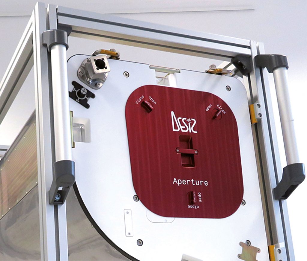
DLR Earth Sensing Imaging Spectrometer
With increasing global industrialisation, the impact of humans on Earth’s food supply is constantly growing. Using hyperspectral data, scientists can monitor and develop the dynamic relationships between geophysical parameters on an intercontinental scale. The DESIS imaging spectrometer can depict the land surface, oceans and atmosphere with great accuracy. Unlike conventional satellite-based spectrometers, DESIS has a high number of channels in the 400 to 1000 nanometre range. The instrument records hyperspectral data using 235 channels with a spectral range of 2.5 nanometres, covering the visible and near infrared spectrum. It has been developed to obtain a pixel resolution (ground sample distance) of 30 metres from the 400-kilometre orbit of the ISS. The spectrometer has been developed to operate on the MUSES instrument platform.
In June 2018, DESIS will be launched to the International Space Station (ISS) on board a SpaceX rocket. From there, DESIS will observe Earth’s surface around the clock, providing experts with information about the current state of, and any changes to the land and ocean surface. This will enable them to better understand environmental processes or make statements about the current state of forest and agricultural land, in order to improve global food production, for example. In addition, data from the ISS instrument will quickly be available in the event of a disaster, enabling it to assist emergency services with their deployments. The developers aim to combine the data from all MUSES instruments and thereby develop advanced methods for remote sensing. The remote sensing instruments can also be returned to Earth after their operational life of between three and fve years, in order to more closely examine the impact of the space environment on them.
German Aerospace Center (DLR)
Stephanie Kaufhold · E-Mail: stephanie.kaufhold@dlr.de · DLR.de/en
