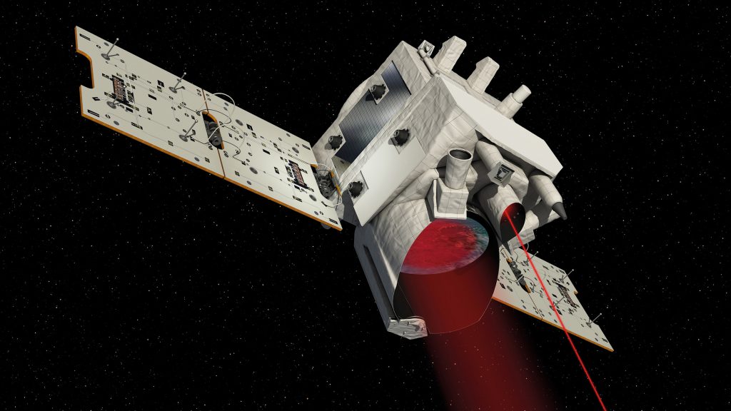
The Franco-German satellite mission
The Franco-German climate mission MERLIN (Methane Remote Sensing Lidar Mission) is expected to measure methane levels in Earth’s atmosphere from 2023 with unprecedented accuracy. Missions like MERLIN help to gain a deeper insight into the mechanisms that influence climate on Earth. Data from the mission are processed and evaluated jointly and in close collaboration with various research laboratories. MERLIN is set to orbit the Earth at an altitude of approximately 500 kilometres and will operate for at least three years.
Methane is a particularly potent greenhouse gas. The climate impact of methane is 25 times greater than that of CO 2. Although the concentration of methane is signifcantly lower than that of CO2, it is responsible for approximately 20 percent of global warming.
MERLIN will be installed on the new ‘Myriade Evolutions’ satellite bus, which has been developed by CNES in conjunction with the French space industry. The satellite’s payload, an active Lidar (Light Detection and Ranging) instrument which can measure even at night-time and through thin clouds, is being developed and built in Germany on behalf of DLR Space Administration. The methane Lidar includes a laser that can emit light in two different wavelengths, enabling it to conduct highly precise measurements of methane concentration at all latitudes, regardless of sunlight. The wavelengths are in the infrared range and are chosen so that one is absorbed by methane, while the other is not. MERLIN sends two such pulses at the same spot on the ground in quick succession. The small satellite captures and registers the reflected pulses with a telescope. The presence of methane in the atmosphere weakens one of the pulses, but not the other. This difference allows scientists to determine the amount of methane between the satellite and Earth’s surface.
German Aerospace Center (DLR)
Matthias Alpers · E-Mail: matthias.alpers@dlr.de · DLR.de/en
