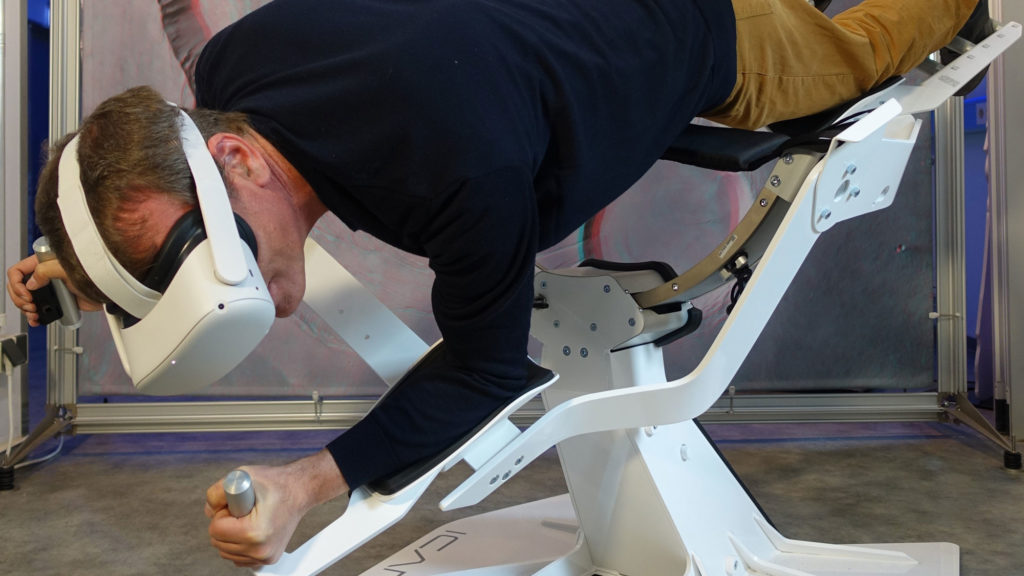
Flying over fascinating landscapes using VR headsets
Satellites examine the ‘health’ of our planet around the clock. They provide indispensable data on numerous environmental issues. The cameras and sensors are also used on research aircraft to take a particularly close look at regional and local issues.
In this interactive exhibit from DLR_School_Lab Berlin – one of DLR’s 15 student laboratories – you can fly over breathtaking photorealistic landscapes. The choice is between the Berchtesgaden National Park and the Engadin valley region. The data, which have been specially processed by DLR, were acquired during aerial survey flights, during which an advanced space camera was used. So: “Fasten your VR headset” and enjoy the flight – the DLR_School_Labs wish you lots of fun!
Link:
German Aerospace Center (DLR)
DLR_School_Lab
Dr. Christoph Pawek · Email christoph.pawek@dlr.de
