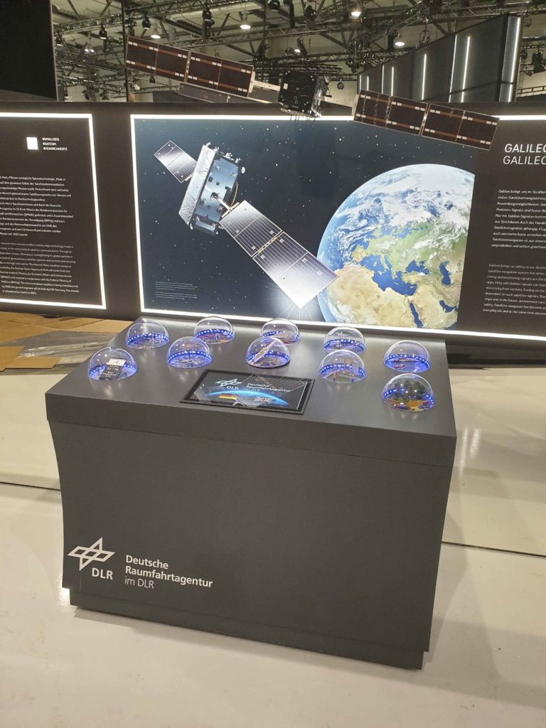
Europe’s satellite navigation system and its benefits clearly explained in an interactive model
Just like the internet, satellite navigation has developed into a technology that has become an integral part of our everyday lives. There are now four global satellite navigation systems that can be used alone or together. Galileo and GPS in particular complement each other very well. This ensures that sufficient satellites can always be recached.
Galileo has been in operation since December 2016. The system consists of two elements: a constellation of satellites in space and a network of ground stations on Earth. As planned, the constellation consists of 30 satellites circling Earth in three orbits at an altitude of approximately 23,000 kilometres. Twenty-four of these satellites are in operation, with a further six in reserve. The infrastructure on the ground consists of two control centres for the entire system at the DLR site in Oberpfaffenhofen and in Fucino (Italy), five radio stations for communication with the satellites, five telemetry stations for monitoring the satellites and 13 reference stations for monitoring the signals. Both elements have to work together perfectly for Galileo to function reliably and provide high-quality positioning and time signals.
These two pieces of information open the door to countless and very diverse applications in everyday life. Navigation signals are an integral part of many smartphone apps and enable location-based services. Mobile phone and other communication networks are synchronised using the time signals from Galileo and GPS. Trading on stock exchanges and the stable flow of electricity to our power sockets also depend on these signals. Aircraft, ships and, in the near future, autonomous cars will reach their destinations safely thanks to Galileo. Galileo signals can also be used to warn drivers when they are in danger of inadvertently wrong way driving in the same lane. Trains can be timed more precisely, improving punctuality. In agriculture, yields are increasing and costs falling because farmers can control the use of fertilisers more precisely. In the construction of motorways and railway lines, satellite navigation signals support the surveying of construction sites. These examples show that satellite navigation helps us to master our everyday lives and at the same time secures critical infrastructures such as the maintenance of power grids and the financial sector. The impact Galileo has on us can be experienced in an interactive model in the Space Pavilion at ILA 2024.
Link:
German Aerospace Center (DLR)
German Space Agency at DLR
E-Mail contact-dlr@DLR.de
